Beryl is the first major hurricane to form from a wave coming off Africa in June, and one of only three major hurricanes to form in June.
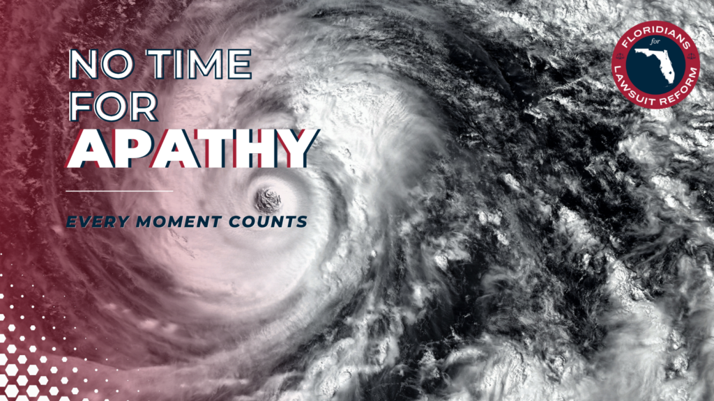
On Friday, Tropical Storm Beryl formed and rapidly became the first hurricane of what’s predicted to be an explosive new hurricane season. In short order, Beryl became a major hurricane (Category 3 or higher), and is currently a Category 4, with winds of about 150 miles per hour. Beryl is moving through the Windward Islands as it steams through the Atlantic into the Caribbean in response to a super-strong Bermuda high—high-pressure system located over the Atlantic Ocean—that is the major influence on its west-northwest path.
The storm is yet another rapidly intensifying storm that’s gone from a tropical storm to a Category 4 in just one day. This trend of rapid intensification makes hurricanes today more of a threat than ever before. Supercharged initial conditions—including high sea surface temperatures, which are like fuel for hurricanes—are in place, and the hurricane season is off to a fast start.
As climate records continue to be broken across the world every day in this record heat, here are a few firsts for Beryl:
- First tropical storm to form so far east in the Atlantic (off the coast of Africa) in June (more on that below).
- First hurricane to form so far east in the Atlantic in June
- First major hurricane to form from a wave coming off Africa in June, and one of only three major hurricanes to form in June
- First ever Category 4 ever to form in the entire Atlantic Basin (the Atlantic, Caribbean and Gulf of Mexico) in June, making Beryl the strongest June hurricane on record
Waves moving off Africa usually develop in August and September, but this is an unusual year—and part of the reason the Climate Adaptation Center is recommending extreme vigilance this hurricane season.
But wait, there’s more!
Tropical Storm Chris also formed in the extreme southwest Gulf of Mexico Sunday evening. Chris made landfall in the state of Veracruz, in Mexico, just before midnight local time. By 8 a.m., the storm had weakened into a tropical depression. It’s bringing heavy rain and flooding over portions of eastern Mexico this morning.
Invest 96L is another storm developing right now, in about the same area where Beryl formed on Friday. I expect the system to become Tropical Storm Debby in the next day or so—and potentially the second hurricane and fourth named storm of of this early 2024 season.
And let’s not forget the storm that struck the Sarasota area just two weeks ago. It was unnamed, but produced record rainfall and a 500-year to 1,000-year flooding event.
If there is good news here, it is this: The path of these storms will likely keep them from being a threat to Florida, but the remainder of the Gulf coast is not out of the woods. Interests in Mexico and Texas should be extra alert in the days ahead.
Bob Bunting is a scientist, entrepreneur and educator and the CEO of the nation’s first Climate Adaptation Center (CAC), headquartered in Sarasota. The Climate Adaptation Center is an expert resource to inform government, academe, the private sector and philanthropy so they can create the necessary adaptation strategies and actions to protect the Florida way of life and foster the climate economy while larger global solutions evolve to solve the climate problem. Contact Bob at bob.bunting@theclimateadaptationcenter.org for more information.